Where is Rome on a map? Your quick guide to Italy’s capital
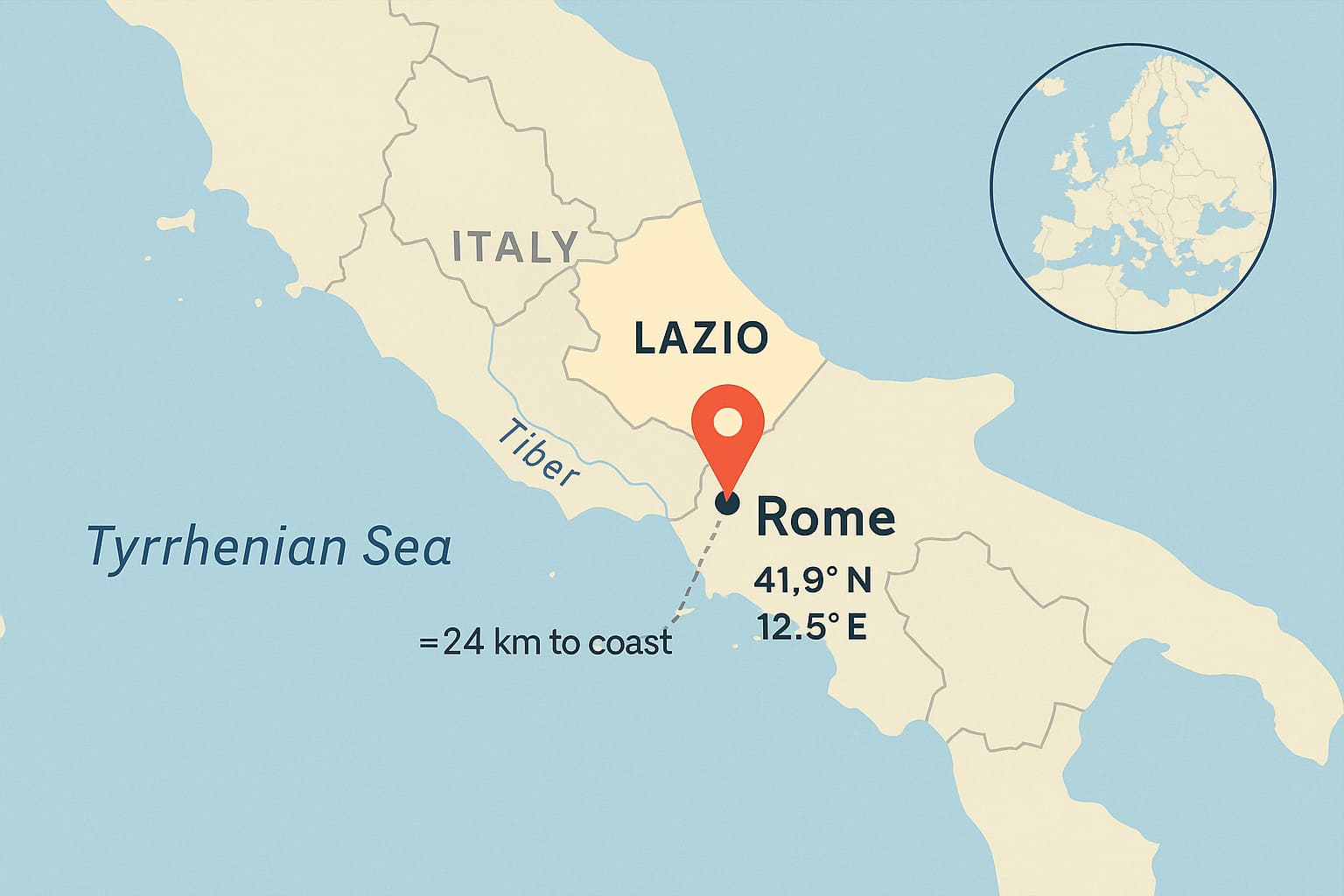
If you’ve ever typed “where is Rome on a map” into your phone, here’s the fast reply: Rome sits in central-western Italy, in the Lazio region, straddling the Tiber River, about 24 km (15 mi) inland from the Tyrrhenian Sea—the western side of the Mediterranean. It’s Italy’s capital and one of Europe’s great historic cities.
Quick visual: find Italy’s “boot.” Now look halfway down the boot on the left (west) side—just inland from the coast. That’s Rome.
Where is Rome on a world map?
On a world map, you’ll find Rome in southern Europe, roughly halfway between the Equator and the North Pole. If a friend asks “where is Rome on a map of the world,” point to the center of the Mediterranean basin—Rome is a major hub there. It also sits inside the European Union, as the capital of Italy (an EU member since 1958). For confirmation, see the EU’s official country page for Italy here: European Union – Italy.
Landmarks that help you anchor Rome
- Seas: Tyrrhenian Sea to the west (Rome is inland, not a beach city).
- Mountains: The Apennines rise to the east; Rome is on gentler plains near the Tiber.
- Latitude/Longitude: about 41.9° N, 12.5° E—handy if you’re dropping a map pin or setting a GPS.
Zoom in: Rome inside Italy (Lazio, Tiber, coastline)
To answer “where is Rome on a map” within Italy, picture the country in regions. Lazio is a central region; Rome is its capital. The city spreads across both banks of the Tiber River and lies ~24 km from the Tyrrhenian shoreline. This explains Rome’s ancient trading power: river access plus a short route to the sea.
Mini-summary: In Italy’s grid, Rome = central-west, Lazio, on the Tiber, near—but not on—the coast.
How to spot Rome on any map (7 simple clues)
When someone says “show me where is Rome on a map,” use these fast cues:
- Find the boot: Italy’s shape is unmistakable.
- Go mid-calf: Slide your finger to the middle of the boot.
- Shift west: Move toward the left (west) coast—but stop inland.
- Look for “Lazio”: Many maps label regions; Rome is the star of Lazio.
- Trace the Tiber: A river snaking through the city—Rome spans it.
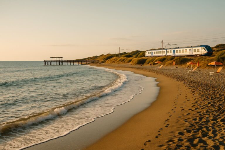
- Check the coast distance: The nearest beaches sit ~30–45 minutes west by road.
- Cross-check coordinates: 41.9° N, 12.5° E puts you right over Rome.
World context: Rome among European capitals
If you zoom out from Italy, you’ll see Rome roughly south of Switzerland, west of the Adriatic Sea, and north of Naples. On a continental map, it lines up with Madrid to the west (across the Mediterranean arc) and sits west-northwest of Athens.
Handy travel orientation (approximate):
- Florence: ~1.5 hours by high-speed train (fastest schedules are ~1h19m).
- Naples: just over 1 hour on the fastest trains.
These times help you visualize distances on the map: Rome is the central hub of many north–south routes.
Map types explained (and what Rome looks like on each)
- Political map: You’ll see Italy in bold borders, Lazio shaded, and Rome marked with a star (capital).
- Physical map: Rome appears on a lowland plain by the Tiber; mountains rise to the east.
- Road/rail map: Italy’s A1 motorway and high-speed Frecciarossa/Italo lines connect Rome north–south.
- Satellite map: Look for a dense urban grid; the historic center forms a rough oval within the ring roads.
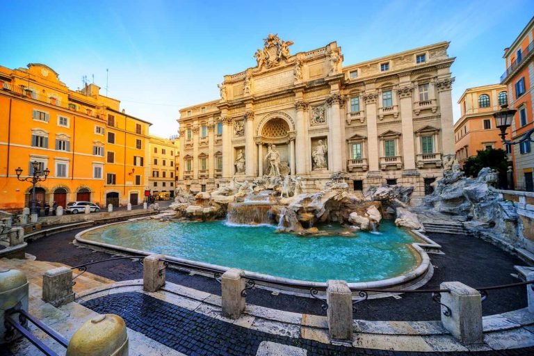
- Tourist map: You’ll spot icons for the Colosseum, Roman Forum, Pantheon, Trevi Fountain, and Spanish Steps—these cluster near the city center, useful when you’re aligning a mental map.
Ancient Rome vs. the modern City of Rome
People sometimes mix up Ancient Rome (the civilization and empire) with the modern city. On today’s map, Ancient Rome’s core overlaps central neighborhoods around the Seven Hills and the Forum. The City of Rome you see now is much larger, extending well beyond the old walls. So if you’re asked “where is Rome on a map” in a history context, they’re usually pointing to this same location, then zooming into the archaeological heart.
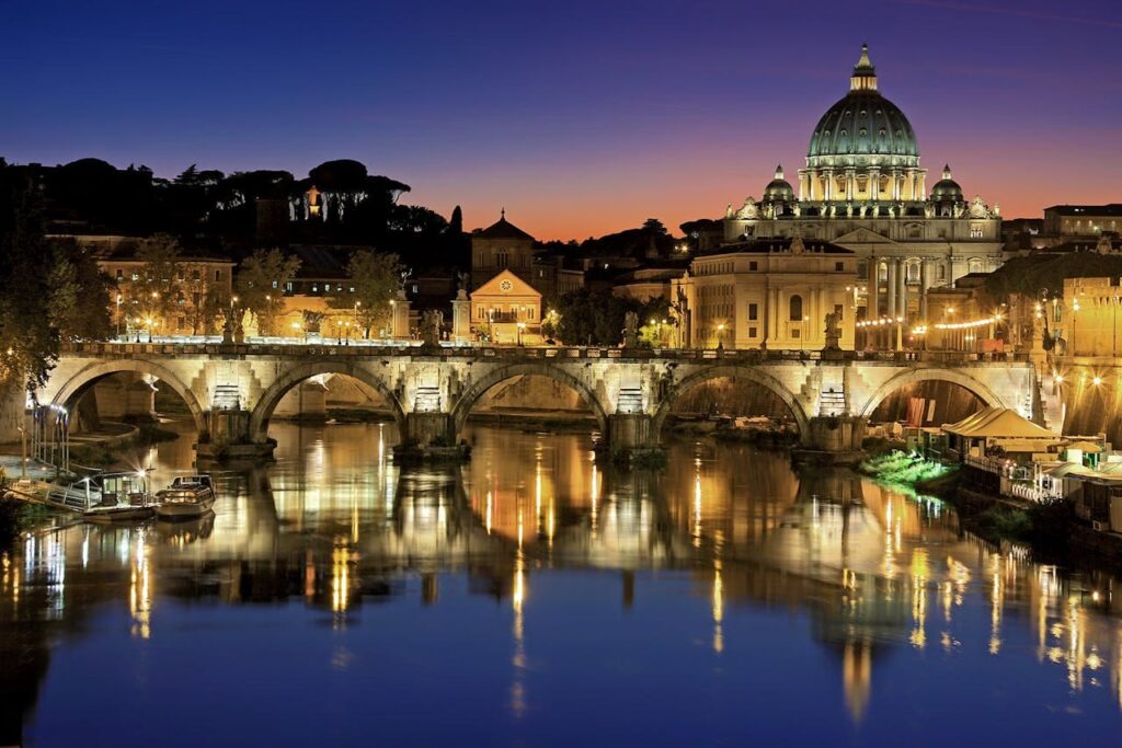
Vatican City: the tiny country inside Rome
Another common follow-up to “where is Rome on a map” is “Where’s the Vatican City?” It’s a sovereign micro-state enclosed within Rome, on the west bank of the Tiber near the Prati and Borgo areas. It’s the smallest independent state on Earth, home to St. Peter’s Basilica and the Sistine Chapel.
Want an authoritative overview of Rome’s location and geography? Britannica’s entry on Rome is a solid reference: Britannica – Rome.
Show it like a local
Let’s make this real. You’re in an airport lounge, and someone asks you to prove you know where is Rome on a map:
- On Google Maps or Apple Maps:
- Search “Rome.”
- Tap “City of Rome (Roma).”
- Zoom out until you see the Lazio label and the coastline to the west.
- Toggle satellite view to see how the Tiber threads through the city.
- On a paper atlas:
- Find the Europe overview page.
- Turn to Italy.
- Use the index for “Rome / Roma,” then match the grid (e.g., C-5 on many atlases).
- Confirm with landmarks (Tiber, ring roads, airport icons “FCO” and “CIA”).
- Explaining to kids:
“Italy looks like a boot. Rome is halfway down, on the left side, near a river. The tiny Vatican City is inside that same city.”
Helpful bearings: distances and directions
- Rome → Sea: ~24 km west to the Tyrrhenian coast.
- Rome → Florence (north-northwest): about 230 km; quickest trains ~1h19m.
- Rome → Naples (south-southeast): about 225 km; fastest trains ~1h10m.
- Rome → Milan (north): ~570 km; planes and fast trains connect multiple times daily.
These bearings make it easier to visualize Rome’s central position in Italy when you’re reading any map.
FAQ
Is Rome part of the European Union?
Yes. Italy is a founding EU member, and Rome is its capital. See the EU’s official profile for details.
Is Rome in northern or southern Italy?
Neither—Rome is central Italy (slightly to the west).
Where is Rome on a world map?
In southern Europe, central Mediterranean, in the EU. See the EU’s Italy page for context.
Which region is Rome in?
Lazio. The city spans the Tiber River and lies just inland of the Tyrrhenian coast.
What are Rome’s coordinates?
Approximately 41.9° N, 12.5° E—useful for GPS pins or classroom globes.
How far is Rome from the sea?
About 15 miles (24 km) from the Tyrrhenian Sea.
Where is the Vatican on the map of Rome?
Inside Rome, on the west bank of the Tiber, bordered by Italian neighborhoods.
Wrap-up: the one-sentence takeaway
Where is Rome on a map? Rome is the capital of Italy, in central-western Italy’s Lazio region, on the Tiber River about 24 km from the Tyrrhenian Sea, at roughly 41.9° N, 12.5° E, with Vatican City enclosed within its urban area.